|
| 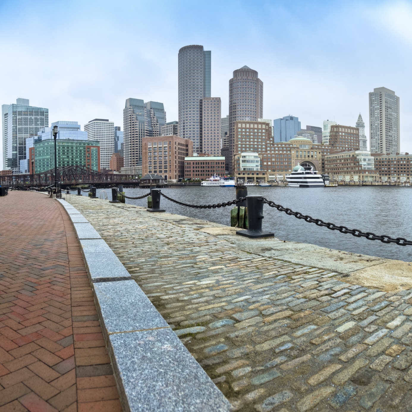
Shore-based defenses against more frequent and severe Boston Harbor flooding are coming into sharper focus as the city and developers consider strategies to protect some of region’s most valuable real estate.
With a new study concluding a nearly 4-mile, $11.8 billion harbor barrier wouldn’t be cost-effective, the focus turns to protection of public infrastructure and existing buildings, and new design standards for future development. The estimated cost of $500 million, in today’s dollars, would be split between the public and private sectors.
Seaport developers and property owners including Procter & Gamble’s Gillette division are increasingly concerned about future damage, although the varied investment timelines of individual owners will influence their decisions, said Carly Foster, a planner for consultants Arcadis.
“We had a range from those planning to be in the neighborhood a couple of years to 50 years.
Their perspective on risk came from very different places,” Foster said at a Boston Harbor Now symposium last week.
But almost universally, developers agreed that a collective approach to resiliency would be the most cost-effective.
“The problem in South Boston is so expansive, the flood waters will outflank you or get you from behind,” Foster said. “They have to link arms and form a chain.”
A report by Climate Ready Boston projected a more than 3-foot sea level rise in Boston Harbor by 2070, and predicted South Boston will be the most vulnerable neighborhood.
Portions of the Seaport District and Fort Point were inundated by flood waters during a Jan. 4 coastal storm, serving as a “wake-up call” for the real estate and business community, said Paul Kirshen, a professor of climate adaptation at University of Massachusetts-Boston and lead author of the harbor barrier report. The area closest to Fort Point Channel and a section of Seaport Boulevard were particularly vulnerable to storm surges, researchers noted.
A resiliency plan for South Boston and the Seaport District due to be released this month by Climate Ready Boston will recommend building up terrain of existing open spaces, parking lots and streets, and installation of new flood gates between buildings in vulnerable areas. The study also looked at installing a flood gate at the mouth of Fort Point Channel near the Northern Avenue bridge, and a new levee and Harborwalk at the entrance to the Fan Pier Marina.
Vegetated amphitheaters, new urban parks and gardens and bike paths could serve as new buffers against rising seas.
“We’re building up the low points from the coast and we’re doing this not with ugly gray systems that are concrete walls,” Kirshen said.
Future development could be subject to new zoning requiring that occupied floors be elevated above future projected flood zones.
Rising seas also could influence designs for major public works projects such as the reconstruction of the Long Island Bridge and the Northern Avenue Bridge.
Harbor Barrier Not a Cure-All
A 3.8-mile-long gated barrier protecting Boston Harbor from storm surges would cost up to $11.8 billion and prove less effective than shore-based resiliency strategies, according to a study released last week by the Sustainable Solutions Lab at UMass-Boston and funded by the Barr Foundation.
“It doesn’t make sense for the city to consider any kind of harbor-wide barrier system,” Kirshen said. “We feel so strongly that shore-based solutions for the next couple of decades are prudent.”
Researchers studied both a 3.8-mile outer harbor barrier from Winthrop to Hull, which would be as well as an inner-harbor barrier from Logan International Airport to the Seaport District. They concluded the systems would pose a hazard to some vessels and wildlife and require increasingly frequent use if sea level rise projections come to pass, shortening the equipment’s lifespan.
The outer harbor barrier would require a pair of 1,500- and 650-foot-wide floating gates that increase velocity of currents and make navigation more difficult for smaller vessels, the study said. The inner harbor barrier would only require one gate with minimal effect on tides and currents and cost approximately $8.7 billion.
The shoreline resiliency strategy includes some methods already being used by private developers at vulnerable waterfront properties. Developer Lendlease is incorporating a permeable “living shoreline” at its 478-unit Clippership Wharf multifamily complex on the East Boston waterfront. And HYM Investment Group said it will elevate buildable sections of its Suffolk Downs property two to four feet to place buildings and roads above flood plains, as it seeks approval for a 16.5-million-square-foot mixed-use development in East Boston and Revere.
Financial models for the private sector’s contributions could include a property surtax, fees on new development or a business improvement district, Arcadis’ Foster said.
“There’s so many ways to potentially slice this and there’s not really a silver bullet,” she said. “It’s going to have to be a mix of public-private partnerships, grants and new revenue generated.”