|
| 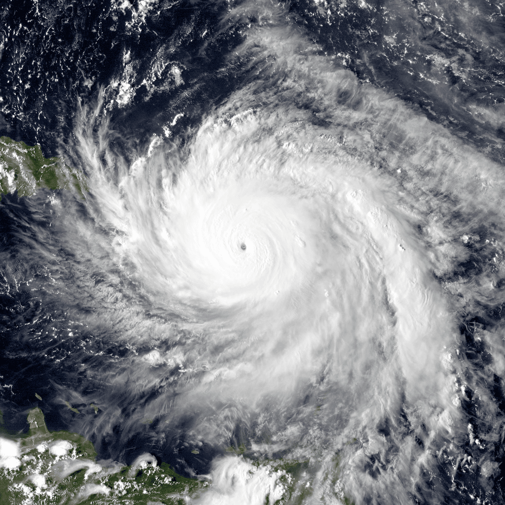
Hurricane Maria near peak intensity, moving north towards Puerto Rico, on Sept. 19, 2017. Image courtesy of the Naval Research Laboratory / NOAA / Public Domain.
A proposed massive overhaul of the federal government’s disaster aid system to correct mapping mistakes and other errors would lift the prohibition on aid for more than 900 other structures along the East Coast from New Hampshire to Virginia. That would allow the owners to buy lower-cost flood insurance backed by the federal government and potentially benefit from millions of dollars in other federal aid to fix infrastructure including roads and bridges.
The proposed changes, expected to go before Congress for approval next year, are drawing criticism from watchdog groups that say making so many more properties eligible for federal aid would stress already strained disaster relief programs and is a step in the wrong direction at a time when scientists expect stronger and more frequent storms because of climate change.
“I’m concerned about federal subsidies going to people who, quite frankly, don’t need it,” said Steve Ellis, vice president of Taxpayers for Common Sense, a Washington, D.C.-based group that describes itself as a nonpartisan government spending watchdog. “The idea was you can develop in these areas but don’t expect any support from the federal government. You want to build, it’s on your dime.”
The National Flood Insurance Program is already more than $20 billion in debt and it could be drained of hundreds of millions of dollars more by the mapping changes. The federal government also could be on the hook for millions of dollars more in disaster aid payouts through the Federal Emergency Management Agency to fix storm damage to infrastructure.
The proposal, however, has garnered support from several environmental groups because it would also add 277,000 acres into the protection system.
Officials with the Fish & Wildlife Service said the properties on which the structures in question were built were mistakenly included in the national Coastal Barrier Resources System, which was created in 1982.
The Coastal Barrier Resources System — which now includes 3.5 million acres (more than 14,000 square kilometers) along the Gulf of Mexico, the Atlantic Ocean, the Great Lakes as well as in Puerto Rico and the U.S. Virgin Islands — saved the federal government $9.5 billion in disaster aid payouts from 1989 to 2013, according to a recent study by academic researchers. Not taking the current proposal into account, the system is projected to save another $11 billion to $108 billion by 2068, the study said.
Over the years, however, Congress has removed hundreds of properties from the protection zones. In December, President Donald Trump signed a bill that removed about 500 structures, with officials again citing past mistakes.
More planned mapping changes affect some of the country’s ritziest waterfront communities, and that has led some to question whether the wealthy are being given an unfair break. In New York’s Southampton, for instance, a boundary line has been shifted slightly to make a nearly $18 million beachfront home and another property eligible for aid.
It was a Fish & Wildlife Service review of the maps, not requests from property owners, that spurred the changes, agency spokesman Brian Hires said.
In the case of some properties, Hires said the proposal simply corrects past mistakes: Officials now argue that the original determination that there wasn’t enough development on the lands to keep them out of the system was wrong and thus the properties should never have been in the protection zone.
At the same time, the new maps would make properties containing nearly 300 structures — more than half of them in public parks — ineligible for federal aid by adding them to the protection system. That has raised concerns by local officials, including many in New Jersey, who worry federal dollars would no longer be available to rebuild or repair park buildings, beaches and other public structures after damaging storms.
Mistakes or not, some experts are surprised the government would want to make many properties newly eligible for disaster aid, given concerns about climate change.
“That doesn’t seem like the move we should be making right now,” said Dylan McNamara, a physics and physical oceanography professor at the University of North Carolina at Wilmington. “We should be looking toward the future and admitting that the entirety of the coast is in a precarious position.”