|
| 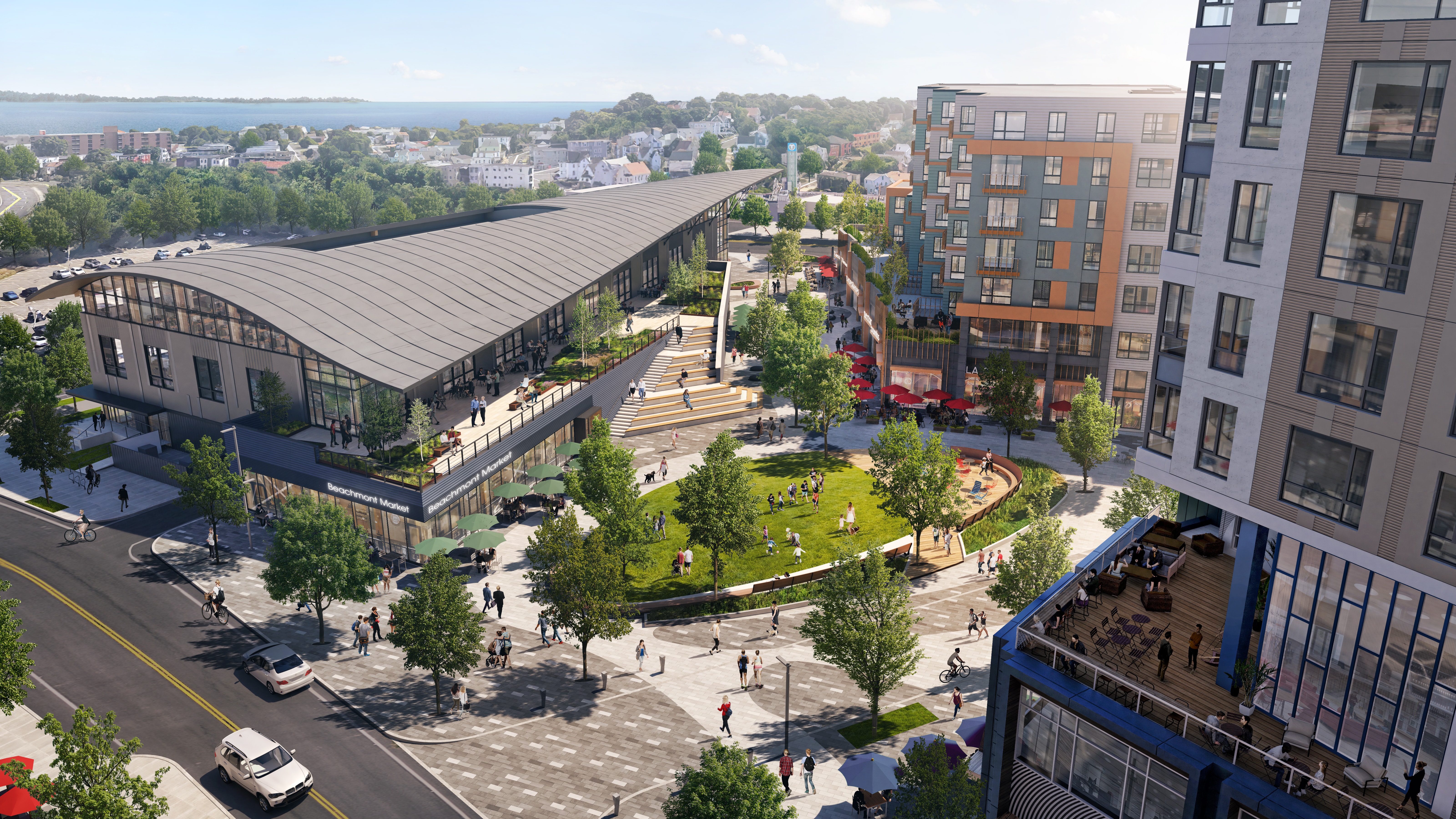
Construction of the first phase of the Suffolk Downs redevelopment could begin as soon as September with groundbreaking for a 450-unit residential building near the Beachmont MBTA station in Revere. Image courtesy of HYM Investment Group
As it prepares to break ground on the first building of the Suffolk Downs redevelopment in late summer, Boston-based HYM Investment Group is taking a bigger-picture look at how future flooding and storm surges will affect its 161-acre site and surrounding vulnerable neighborhoods.
The developers’ consultants studied how nor’easters and astronomical high tides could inundate major roadways of East Boston and Revere by the year 2100, and are considering earthen berms that could channel water away from streets and residential neighborhoods to stormwater systems at Suffolk Downs and Belle Isle Marsh.
“When you add 4 feet of [projected] sea level rise onto these models, it becomes very apparent where the flood points are,” said Doug Manz, director of development for HYM Investment Group. “We’re able to protect our site, but we’re upstream. At some point, major storms would be blocking both Bennington Street and Route 1A.”
With a projected 20-year timeframe to build out the 16.5 million-square-foot former racetrack redevelopment, HYM has been counting on the proximity of Belle Isle Marsh and on-site stormwater control strategies to protect the 10,000 housing units and 6.1 million square feet of commercial buildings, while taking into account projected sea level rise in coming decades.
Push for District Defenses
While initially the developers focused on their own property and plans for detention ponds, permeable open spaces and green roofs, they widened their perspective after completing new modeling of how water flows in and around the property.
One flood path enters the property across Bennington Street from Belle Isle Inlet, pointing to the need to build a 3-foot-tall earthen berm, Manz said. That would have the added benefit of fortifying Revere’s Beachmont residential neighborhood.
The project would be subject to local and state permitting, and needs approvals for partially being constructed on public roadways.
The district-wide resiliency approach lines up with environmental groups’ and the city of Boston’s approach to protecting coastal real estate on a neighborhood-wide basis, rather than parcel-by-parcel defenses by individual property owners.
“It is definitely important that they not create a little island,” said Alice Brown, chief of policy and planning for Boston Harbor Now. “Whatever strategies they’re planning should incorporate the surrounding area and protect others.”
Construction of the development’s first building, a 450-unit residential building, is scheduled to begin in late summer near the MBTA’s Beachmont station. The first phase, surrounding an urban plaza, includes a second multifamily building, office-retail building and 77,000-square-foot hotel, all located in Revere.
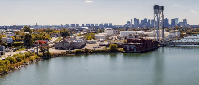
A planning study funded by developer Cargo Ventures envisions transforming the desolate industrial waterfront off Route 1A into a resilient and walkable public Greenway. Photo courtesy of Scape Landscape Architecture
Vision for a Greenway on Chelsea Creek
On the western side of Route 1A, another private developer and grassroots community group are partnering on potential resiliency and open space upgrades to a stretch of desolate industrial waterfront.
Cargo Ventures, which has long-term plans for 900,000 square feet of redevelopment at its existing Route 1A truck terminal, seeks to use a right of way owned by the MBTA and Massachusetts Department of Transportation for a new bypass road connecting to Logan International Airport. The mile-long abandoned rail right-of-way runs parallel to Route 1A along Chelsea Creek.
MassDOT advertised for the sale of an easement for the right of way in 2019, including the requirement to build a public bike and pedestrian path. After watchdogs including former state Transportation Secretary James Aloisi complained about insufficient opportunities for public comment, the agency issued a request for proposals last winter for a broader transportation study of the 3-mile stretch of Route 1A from the Revere line to the airport tunnels.
In the meantime, Cargo Ventures agreed to pay for a $330,000 land-use study led by Scape Landscape Architecture on behalf of East Boston nonprofit The Harborkeepers.
Although the Route 1A corridor study is expected to take up to 18 months to complete, according to MassDOT documents, The Harborkeepers and its consultant have completed conceptual plans for the area. The strategies include ecologically restored shorelines, improved pedestrian connections across Route 1A and enhanced public access to the waterfront.

Steve Adams
The right-of-way, which MassDOT has stated would be open to all commercial traffic, could be repurposed as a mixed-use pathway along with the cargo route, said Magdalena Ayed, executive director of the Harborkeepers.
“We tried to be creative in terms of the design strategies. If it mitigates the traffic congestion on Route 1A and creates a safer corridor, I wouldn’t be opposed to that,” Ayed said.
Resiliency strategies for the waterfront will be refined following this summer’s anticipated release of the city of Boston’s second phase of the Climate Ready East Boston report, which focuses on the Beachmont and Chelsea Creek areas.