|
| 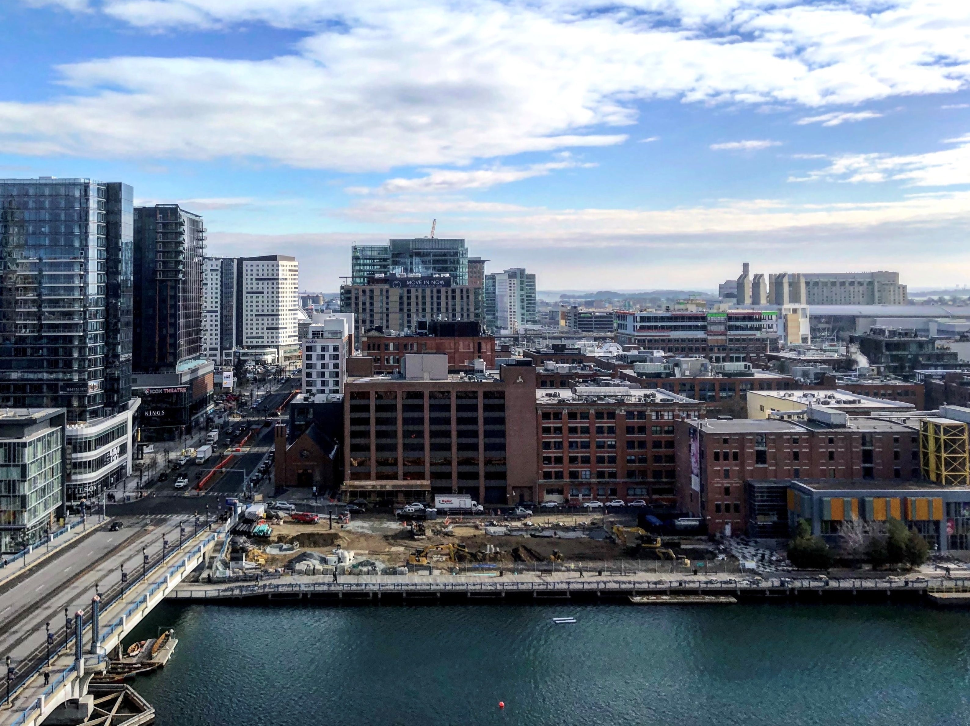
For decades, activists have fought to maintain public access to Boston Harbor as new office towers and residential high-rises cover once-neglected parcels.
The 47-mile Boston Harborwalk is the most visible product of that campaign, led by the former Boston Harbor Foundation and its successor, Boston Harbor Now. But more than 1,000 waterfront areas including observation decks, seating areas, docks and restrooms are lesser known among the general public, Boston Harbor Now CEO Kathy Abbott said.
A $48,000 payment from The Fallon Co. of Boston will go toward creation of a new online database, including the first comprehensive map of public accommodations at 356 waterfront properties.
Boston Harbor Now staff are compiling the list based upon a review of waterways licenses issued by the state Department of Environmental Protection. The mobile-friendly website is scheduled to go live in late spring.
Funding for the Harborwalk Benefits Map was recently released by the DEP from the Fallon Co.’s public mitigation for the 3-million-square-foot Fan Pier development on Northern Avenue.
The state-mandated requirement for public accommodations has been a sticking point, with some developers arguing that such facilities can be hard to fill outside of Boston. The Conservation Law Foundation last year filed a court challenge against South Boston developer Cronin Group’s planned 150 Seaport tower because it did not contain on-site public accommodations other than a restaurant, waiting area and Harborwalk extension. CLF recently settled the case after Cronin Group agreed to an $18.5 million payment toward a waterfront park and youth enrichment programs.