|
| 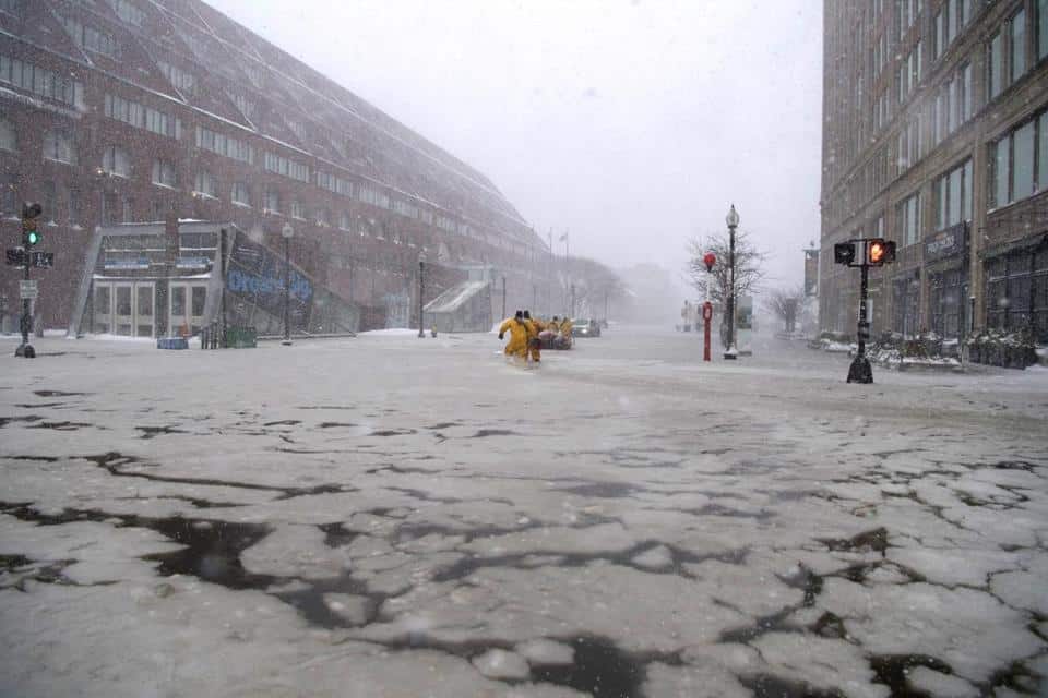
Historic flooding in February 2018 in the Seaport and Long Wharf (pictured). Photo by John Centrino | Shutterstock
Climate change, in the form of sea level rise, has cost New England states $403.1 million in property values between 2005 and 2017, according to a new study from the First Street Foundation.
Flooding has gone up by 200 to 400 percent nationally in the last 20 years according the report, with over 1.7 million properties in Maine, New Hampshire, Massachusetts and Rhode Island at risk of “frequent tidal flooding” as the melting polar ice caps and other changes raise average sea levels.
With 22 record flood days being reported from mid-2017 through mid-2018 in Boston alone, Massachusetts is at risk from frequent tidal flooding as well as record high tides, threatening streets, sewer systems, drinking water, homes and cars at risk, along with property values. Even though the sea level off the coast of Massachusetts’ has only risen around 3.5 inches, tidal flooding has increased by 267 percent since 2000, the study found.
The state has collectively lost about $273 million from coastal property value loss due to flooding from sea level rise since 2005. The five worst-hit communities are Salisbury ($35.9 million), Barnstable ($16.4 million), Saugus ($13.9 million), Nahant ($10.2 million) and Quincy ($8.5 million).
Homeowners are able to investigate their own properties at FloodIQ.com, which uses data from the National Oceanic and Atmospheric Administration, the National Weather Service, the U.S. Geologic Survey and the Army Corps of Engineers to model flood risk in many coastal states. Models developed by Columbia University are used to estimate the impact of flooding on property values.